Hike #24
Date: March 16, 2014
Location: White Tank Mountains - Ford Canyon, Phoenix AZ
Hikers: Me & Jim
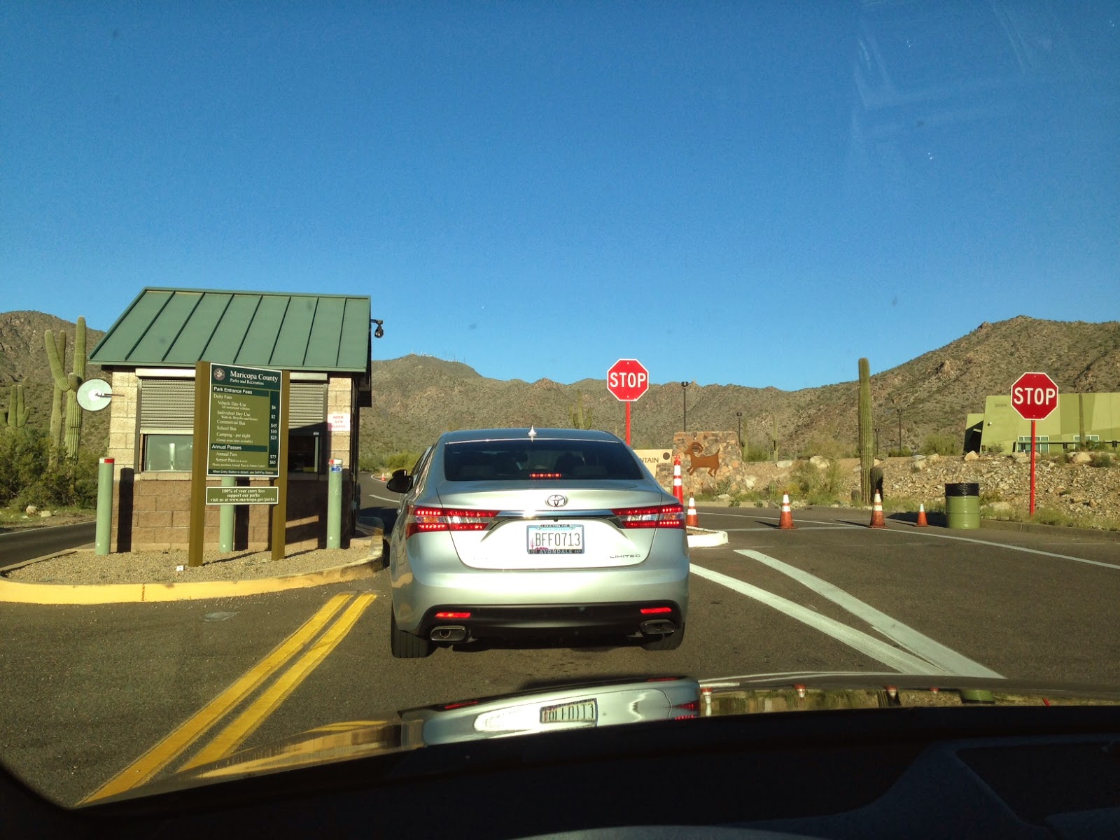
Directions: 101 (west side of Valley) to Olive Road. Olive Road west. This road takes you directly into the Regional park. Entrance Fee is $6. (Jim bought an annual pass since we already went to CaveCreek Regional) Restrooms/Water/ Ramada.
https://www.maricopa.gov/parks/white_tank/Maps.aspx
or
https://www.maricopa.gov/parks/white_tank/pdf/2013/white-tank-11x17-3d.pdf
Today we are planning to hike the Ford Canyon Trail. You can make this trail into a loop of many distances. 8.8 to 15 miles. We have decided to hike til the pools which is approx 2.6 miles and then head back. The Waterfall Canyon is the most heavily traveled hike in this area. It is 2 miles total to a waterfall. We are going to pass on that and may come back later in the year when there actually may be a waterfall.
History on the mountains - The White Tanks were apparently abandoned by the Hohokam about A.D. 1100. There is no further indication of human occupation until the historic period, when the Western Yavapai controlled the area. Due to the ruggedness of the terrain and the difficulty of obtaining water, sites in the White Tank Mountains were restricted to large canyons leading out of the mountains on the east, north and probably west. Ruggedness of terrain and scarcity of water restricted the sites to large canyons leading out of the mountains. In these canyons, the sites include seven villages. Most of the sites in the area are concentrated around the White Tanks themselves. The Tanks probably held water the year-round and thereby drew people to the region. Petroglyphs on rocks indicate the Indians were more than transients
 We started the hike at 7:30.
 It took us 30 minutes to drive here. The drive is very easy and you are in flat farm land with many stop signs that exist because the train runs East and West in this area.

We parked area Area #9 which is located on Ford Canyon Road. There was a restroom right there and the trailhead was on the other side. It was easy to find. The trail starts off down going into the wash to come up on the other side. I would say during monsoon season or rainy months there would be some water. For now it is bone dry.
It is a flat climb and very pretty. There are benches along the trail some have memorials on them. It is a very nice area. We continued on a very gradual up for about 2 miles.


Markers every where!


 The trail is very well marked. It is mostly a gravel path until you start up the hill. The morning is a little cool and there is no wind like yesterday. The layers quickly come off. There are benches about every quarter of a mile. There are dedications to different people. It is a nice place to take a leisurely stroll and still have a place to rest. No rest for the wicked.
 We move on!

This mountain was not what I expected. It is very similar to the McDowells but the Canyon part is more mysterious. Once you head further west the trail becomes rocky and the trail narrows.


Jim sits and models this bench. The plaque comments about the view. If you look to the East you can see all the mountain lines. You can even see the skyline in the far distance. A nice camera would capture the picture but an iPhone can't. We continue our hike.

At this point you hit the caution sign. I review trip reports before we do these new hikes. I know that the terrain in some spots will be bouldering very little. Not like Flat Iron or Camelback but a little like Piestwa at the top. It is nothing bad. Also, interesting that even though it says no horses there was evidence of a horse.

 This is where the fun begins. This Cairn marks the start of the different terrain. As we continue hiking we see a couple who said there was water ahead in the pools. This is where we plan to turn around so we know we are close. They had started at the other side so they must be fast or up early!

There was a cave on the way up to the right and the orange flowers (some cactus) were in full bloom up here. Below is a shot of the water pool. Hard to see. On the left you can see dark sand...that is water in the desert.


We took a break at the top of the pools. This was about the 3 mile marker. We brought snacks this time. We then started heading back down the hill. I lead the way so I could catch Jim if he fell. ha ha


As we continued on we bumped into this cowboy who was pulling another horse. He was also on his way up the trail in case the injured hiker needed help. I guess you can go SUV, Plane or Horse. Now that is a rescue.

Each day I hike this week the flowers seem to be popping up more and more on the cactus. I can't wait til next week.
My St. Patricks day tribute. Wore my Irish Redsox hat in honor.

As we walked back down the wash we could see all the fire trucks. They just had word that the hiker was OK and was going to hike out on his own. Something about a blackout but they were talking in code. That is a long way to hike out. I am sure someone will stay close by.

Never a dull moment on our hikes!
Today was just short of 6 miles and with stops and a little drama chit chat we finished in 2 hours. I would love to come back and do the loop on a day that I have 4 hours. Maybe it will be a Julio adventure hike.
Hike #24 - Check it off.
Almost 1/2 way done. Yeah!

No comments:
Post a Comment